Pacific Crest Bicycle Trail / Sierra Casscade Trail
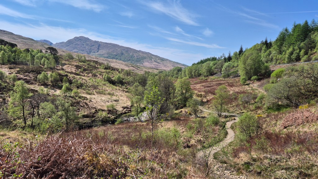
The Sierra Cascades Bicycle Route runs roughly parallel to the Pacific Crest National Scenic Trail along the Cascade Range and the Sierra Nevada, from the Canadian to the Mexican border. The route features volcanoes, long stretches of forested countryside, bustling towns, deserts, and orchards.
Status: Bikepacking 2019
Land: USA
My journey on the Pacific Crest Bicycle Trail
The Adventure Cycling Association created the Sierra Cascades Bicycle Route, also known as the Pacific Crest Bicycle Trail (PCBT).
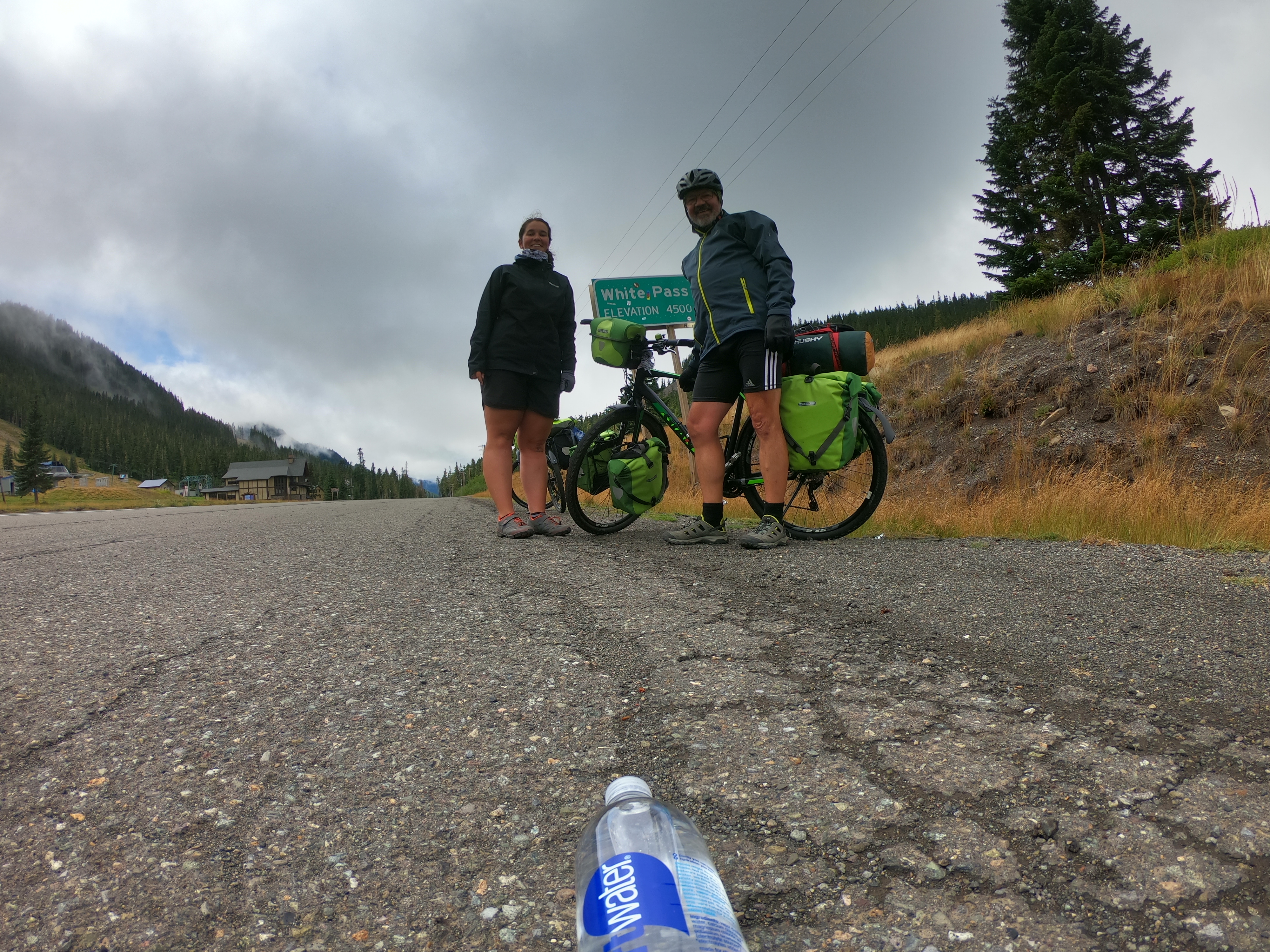
The route starts in Sumas, Washington. In North Cascades National Park, you reach the first major pass, the 1,484-meter-high Rainy Pass. Mount Rainier National Park begins west of Yakima, Washington. From here, the route winds up and down until it reaches the Columbia River.
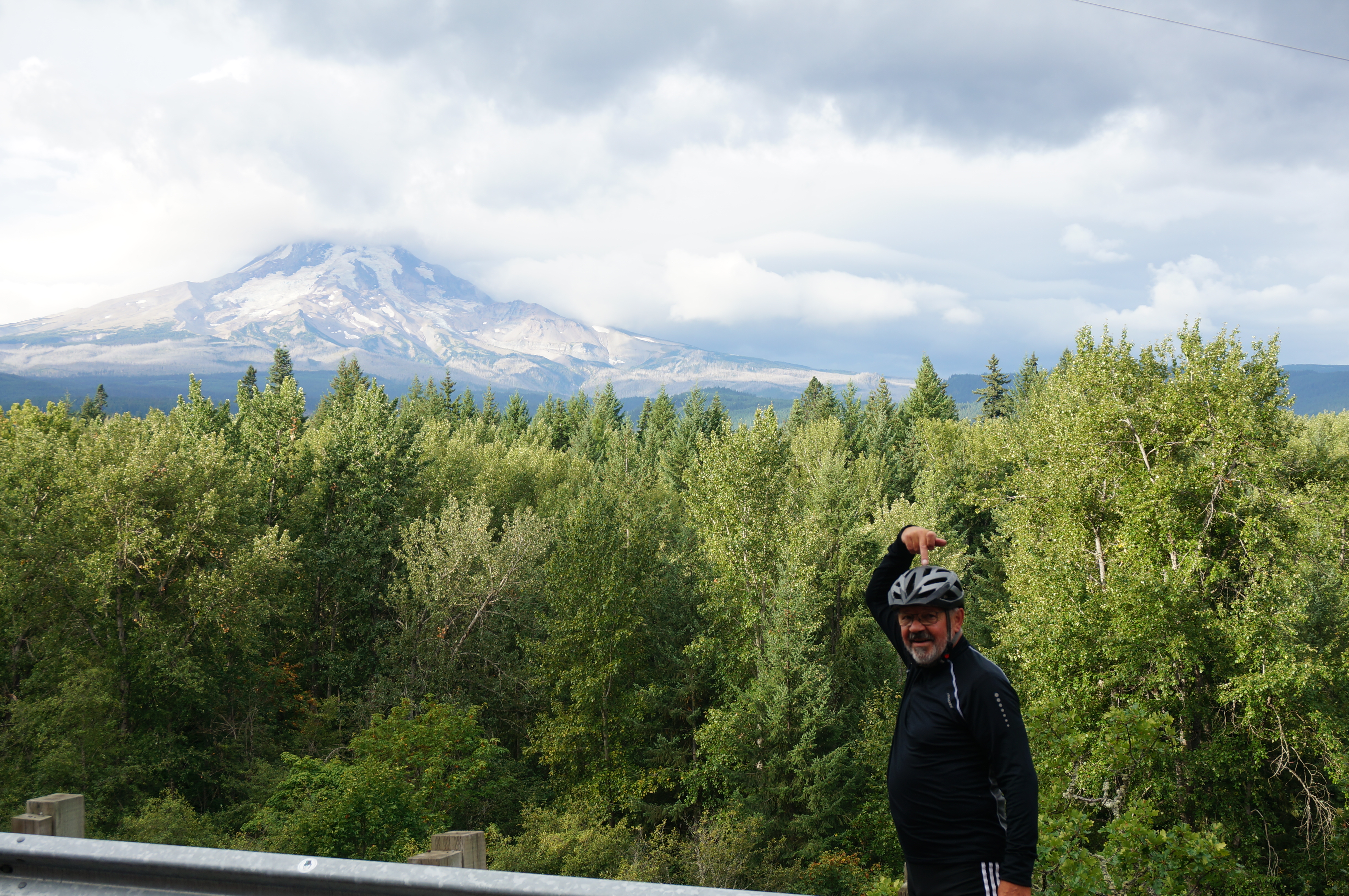
In Oregon, the route passes countless volcanoes, including Mount Hood. One of the highlights is definitely Crater Lake National Park. Unfortunately, it’s always very crowded here, so be careful.
Due to an early onset of winter in the Sierra Nevada, we leave the route in California and head toward San Francisco.
From here on, we follow the well-known Highway 101. There’s a lot of traffic, but we also meet several other cyclists. The coastal region isn’t just terribly hot, but also quite expensive. After just under 3000 km, we finally reach Los Angeles, where our cycling trip ends.
My conclusion: Aside from the coastal stretch in California, I would really recommend the tour. Cycling culture in the U.S. is very different from that in Europe. Even though there is a lack of bike paths and you therefore often have to ride on the road, most Americans celebrate your athletic achievement.
Die „Adventure Cycling Association“ hat die „Sierra Cascades Bicycle Route“ ins Leben gerufen. Auch bekannt als Pacific Crest Bicycle Trail (PCBT).
Start ist in Sumas, Washington. Im North Cascades National Park erreicht man den erste richtige Pass, der 1.484 m hohe Rainy Pass. Westlich von Yakima (Washington) beginnt der Mount-Rainier-Nationalpark. Hier geht es auf und ab bis zum Columbia River.
In Oregon führt die Route an unzähligen Vulkanen vorbei, unter anderem am Mount Hood. Eines der Highlights ist definitiv der Crater Lake National Park. Leider ist hier immer sehr viel los, also seid vorsichtig.
Wegen eines frühzeitigen Wintereinbruchs in der Sierra Nevada verlassen wir ab Kalifornien die Route und biegen nach San Francisco ab.
Von nun an folgen wir den sehr bekannten Highway 101. Es gibt viel Verkehr, aber wir treffen auch auf mehrere andere Radreisende. Die Küstenregion ist nicht nur schrecklich heiß, sondern auch ziemlich teuer. Nach knapp 3.000 km erreichen wir schließlich Los Angeles, wo unsere Radreise endet.
Mein Fazit: Abgesehen vom Küstenabschnitt in Kalifornien würde ich die Tour wirklich empfehlen. Die Radkultur in den USA ist sehr anders als in Europa. Auch wenn es an Radwegen mangelt und man deshalb oft auf der Straße unterwegs ist, werden einem die meisten Amerikaner für die sportliche Leistung gefeiert.